Clonmany Rivers

The Clonmany sub-catchment covers a wide area from Lough Doo and Lough Fad, to Largabrack and Cloontagh River, to Binion, Clehagh, and Garryduff across to the Bocharney, Shivnagh and Ballyhallan rivers as well as the Clonmany River itself.
There is no doubt that a lot of water gathers in Clonmany village as it makes its way down the sides of the mountains that surround this beautiful part of Inishowen.
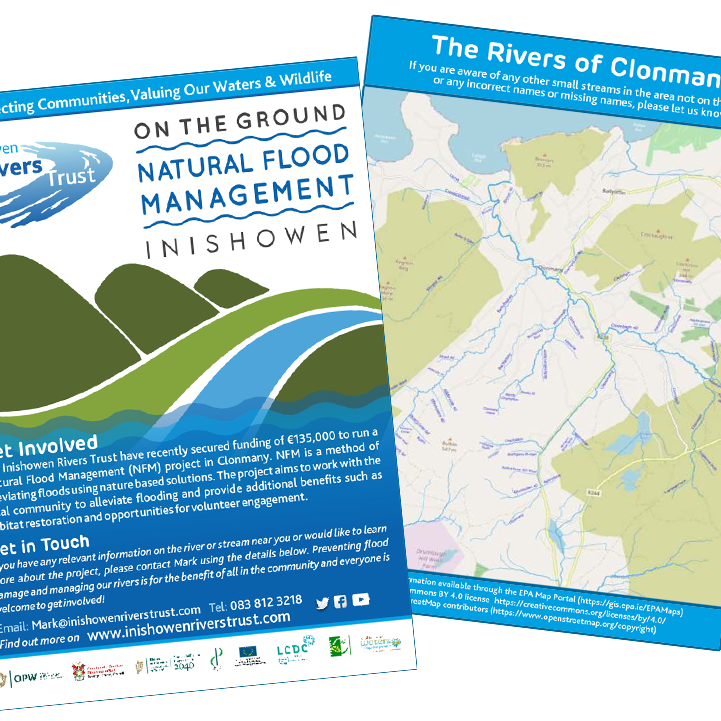
The Inishowen Rivers Trust have produced a map (with kind permission of the EPA) which identifies all of the streams and tributories in the area. There are many names for different sections of the river (and many pronunciations too!) and we welcome any additional information about any of the streams. The more we understand about the rivers of Clonmany, the more we can help to deal with flooding and restore the rivers to their full health.
You can download the map here Rivers of Clonmany.
Please note this map is intended as a guide to help identify each part of the river catchment and the IRT cannot guarantee the accuracy or the validity of the information provided.


